


5,3 km | 7,1 km-effort

Benutzer


Kostenlosegpshiking-Anwendung
 SityTrail
IGN / Geografische Institute
SityTrail World
Die Welt öffnet sich für Sie
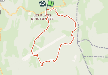
Tour Mountainbike von 8,1 km verfügbar auf Auvergne-Rhone-Alpen, Ain, Haut Valromey. Diese Tour wird von tracegps vorgeschlagen.
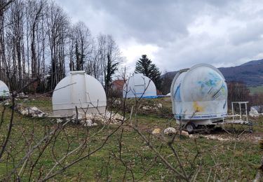
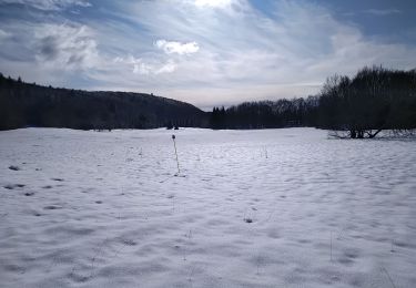
Espace VTT - FFC du Bugey - Circuit n° 12 - Les Plans d'Hotonnes. Circuit officiel labellisé par la Fédération Française de Cyclisme. Le relief de moyenne montagne du Plateau d’Hauteville permet tout naturellement la pratique du VTT. Des itinéraires accessibles à tous, du vététiste bucolique au plus sportif. L'Espace sportif des Plans d'Hotonnes accueille tous les loisirs de glisse sur quatre saisons. L'été, vous pourrez pratiquer le biathlon en compagnie d'un moniteur, le trikke ou le roller dans un cadre d'apprentissage privilégié et sécurisé.

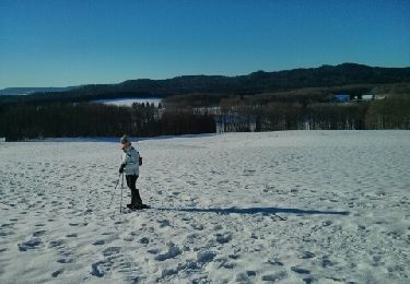
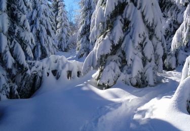
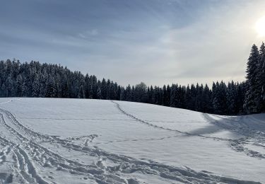
Schneeschuhwandern
Mountainbike

Mountainbike
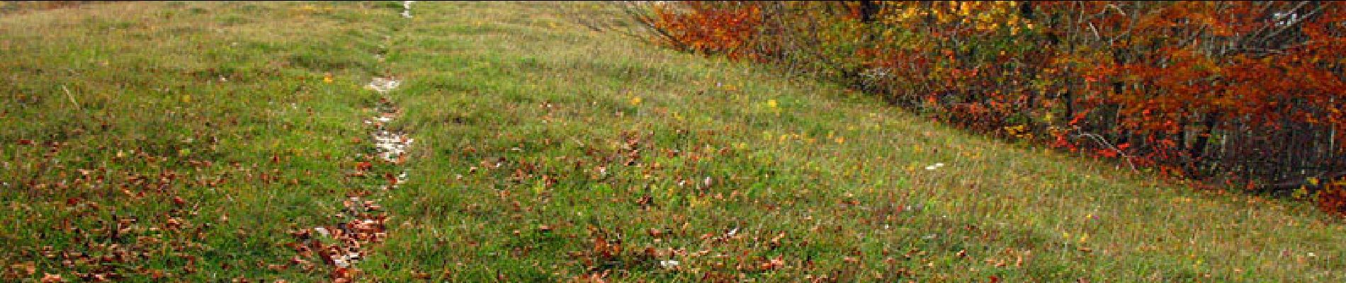
Wandern
Wandern
Wandern
Wandern
Wandern

Schneeschuhwandern